More than 50 historical maps of Kazakhstan were presented in Astana.
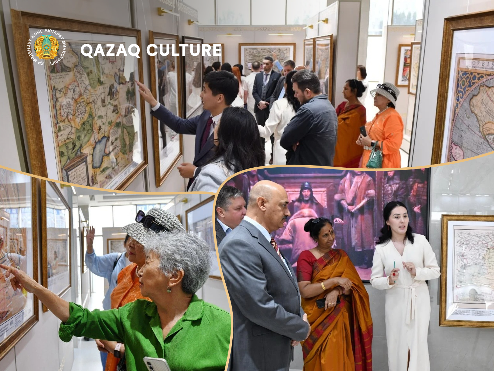
The Gallery of Historical Maps of Kazakhstan is located in the Presidential Center of the Republic of Kazakhstan. It features over 50 maps created by European and Arab cartographers between the 11th and 19th centuries.
The exhibition traces the development of geographical knowledge and understanding of the Great Steppe over several centuries. The maps reflect ancient toponyms, city names, rivers, steppe domains, and other geographical features located in the territory of modern Kazakhstan.
The materials on display are important for the study of the history of Kazakh statehood, historical geography, and ethnopolitical processes in Central Asia. The exhibition demonstrates the evolution of cartography – from early schematic representations of territories to the more precise maps of the 19th century.
The gallery also serves as a research and educational space dedicated to the study of historical toponymy and cartographic heritage. Since its opening, it has been visited by approximately 2,500 people, including scholars, teachers, students, representatives of the diplomatic corps, public figures, residents, and visitors to the capital. The project aims to popularize Kazakhstan's historical and cultural heritage and introduce visitors to how the image of the Great Steppe was formed in the global cartographic tradition.